Survey Area
Survey Area 1: Watercourse and Associated Features
Survey Area 2: Dam and Reservoir in the valley east of Kfar Qouf
Survey Area 3: Structural Features in and around Kfar Qouq
Survey Area 4: Springheads, aqueduct fed ponds, and natural lakes
Survey Area 5: Irrigated Fields, Orchards, and Irrigation Channels
Survey Area 6: Structural Features in the Wider Area, including Aiha
Survey Area 7: Quarry Sources for Ancient Stones
Survey Area 8: Wadi-n-Neirab - Storm Water Overflow
Survey Area 9: Access Routes from Hermon, Beqaa and Lowlands
Survey Area 10: Identify sites for taking sediment core samples
Survey Area 11: Identify recent volcanically active areas.
Survey Area 12: Features and dating of local agricultural terracing
Survey Area 13: Residual vegetation and plant remains over area
Survey Area 14: Evidence of the area being fenced or walled
Survey Area 15: Temples and cave structures on Mt Hermon
Overhead Images of Survey Areas 1 - 5

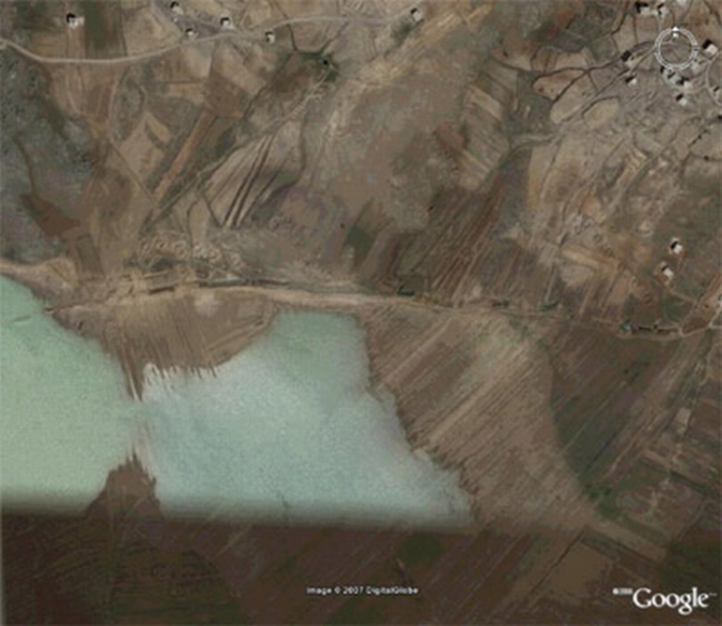
Overhead of Great Watercourse. SA 1

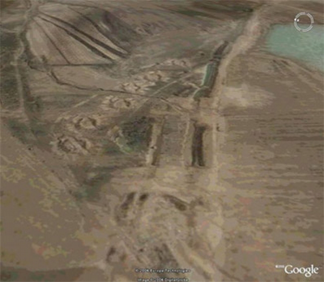
Looking East up the Watercourse to the Dam. SA 1


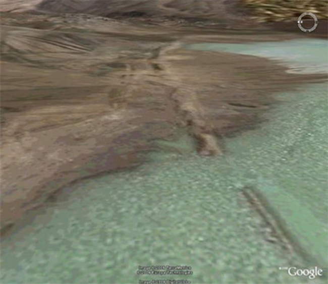
Siting of the Dam Wall in the Valley below Kfar Qouf. SA 2

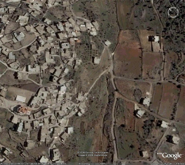
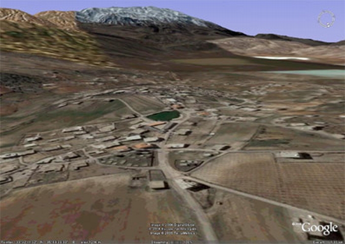
Site of Building of Knowledge - Kfar Qouq. SA 3

Circular Features on the High Ground West of Kfar Qouf. SA 3

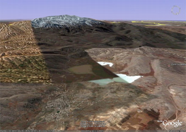
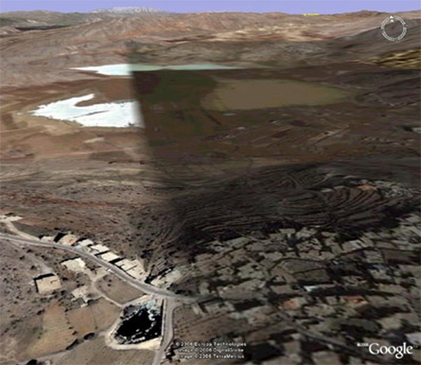
Springheads, Aqueduct Fed Ponds and Natural Lakes. SA 4

Looking north down into the Basin from Rachaiya. SA 5


